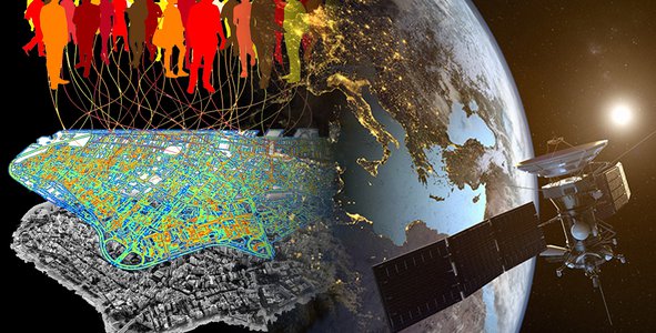
Data from Earth-observing satellites, airborne science platforms, unmanned aerial vehicles (UAVs), and in situ platforms can be used to address development challenges around the world. Your challenge is to use this data to enable local stakeholders to develop more sustainable, disaster-risk resilient, and inclusive urban plans.