Awards & Nominations
eMap has received the following awards and nominations. Way to go!
Global Nominee

eMap has received the following awards and nominations. Way to go!
Leverage AI/ML and sensor technologies to automate smart map creation for urban planning and natural reserves protection by a mechanism of physical tagging of geographical areas.
As a pre-request for the solution to work, physical QR Code need to be generated and installed on top of the target area. The QR code will hold a link to geospatial data hosted in the internet and contain all the information about the target area. Once the QR Code is installed, the UAV will be able to take an aerial photo of the target area.
All the aerial photos then will be processed by the Image Extraction and Decoding software that will extract the data display it on Geospatial browsers such as Google Earth

The Process
Components
Hardware(Field) Components
Software
Benefits
The team utilized google earth data to create that geospatial data that was created by the team.
Maxar Satellite Imagery was used to verify the quality of ML generated and decoded data from QR code
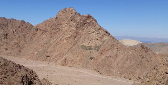
Imagery taken by the team
This hackathon gave the team an opportunity to sharpen their skills required to build the prototype of a granted patent in the domain of remote sensing , GIS and UAV. The approach used to distribute the main tasks based on the experience team has. The team is happy to participate in introducing a positive change for the future of the world.
#Remote Sensing, #GIS, #patent, #UAV, #drone, #reserve, #ML,
This project has been submitted for consideration during the Judging process.