
High-Level Project Summary
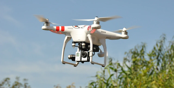
we developped a drones data database to collect from several flying drones over roar areas. the database is then analysed by AI/ML to provide us the analyses.in this phase, we limited our project to alnalyse and studiy some desasters within forests (incloding fire, desertification or anamil migration
Link to Project "Demo"
Link to Final Project
Detailed Project Description
We developped a drones data database to collect from several flying drones over roar areas. the database is then analysed by AI/ML to provide us the analyses.
In this phase, we limited our project to alnalyse and studiy some desasters within forests (incloding fire, desertification or anamil migration
Space Agency Data
we used the "NASA Worldview Earth Data" as will as the "Air Quality" data to analys the geography of the covered area.
Hackathon Journey
we started team building few days prior the competetion star. the idya was already rooming aroud but desided to use it with some tweek within this hackathone.
our team explored the possibilities and avialable data. but was bound to the limitations of delevery of hardware. so we developped our vertuall inviroment to test and semulate the results.
Next we will apply this on real life forest and record the results.
References
https://earthdata.nasa.gov/earth-observation-data/near-real-time/hazards-and-disasters/air-quality
Tags
#drones #airquality #saudi
Global Judging
This project has been submitted for consideration during the Judging process.