Awards & Nominations
Space Sense has received the following awards and nominations. Way to go!
Global Nominee

Space Sense has received the following awards and nominations. Way to go!
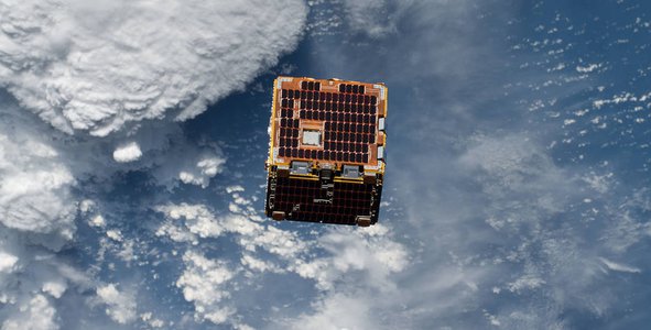
We are trying to develop a satellite system that has to carry our payload which consist of visible and infra-red cameras in space. The imagery data can be used with modeling techniques and help the local government to make better plans for the better green areas in and around populated regions and solutions for an urban extension.
We are developing a satellite system for earth observations. With imagery data from satellites, our society could do more efficient urban planning. Our plan is to have satellites with a payload that includes a visible light camera and IR camera on CubeSats so we can track and find potential problematic areas.
To send this payload we are developing a CubeSat prototype with duplex communication to Ground Station which is connected to a web server where we store our data.
Then we can visualize our data and make configurational changes with a web-based control panel.
What we have done:
We have realized the following subsystems on our CubeSat
1.1 Structure
We have used an open-source 3D model.
It’s realized with 3D printing using FDM technology. There are also additional custom parts for the levels. We used Cura and SolidWorks.
1.2 EPS (Electrical Power System)
Our Electrical power systems include a battery, solar panel, and electronics for charging and leveling the voltage. We have used an 80x80mm 0.8W solar panel, 1 cell 3.7V 730 mAh LiPo battery, TP4056 module for charging, and LM2596 for voltage regulation.
1.3 OBC(On-Board Computer)
The OBC in use is ESP32. It has 2 cores and the clock speed is up to 240 MHz, 448 KiB ROM, and 520 KiB flash. The DMIPS is up to 600. In active mode the power consumption is around 80 mA. In deep sleep the core consumption can be as 10µA.
1.4 ADCS (Attitude Determination & Control System)
The ADCS is implemented with a 6-DoF module with gyroscope and accelerometer MPU6050 and GPS Adafruit Ultimate GPS which can be connected with 22 satellites at max. module(MTK3339 chipset).
That sensors provide Euler angles and proper latitude and longitude for more accurate imaging.
1.5 Communication
For transmitting and receiving we are using the NRF2401 module. It operates on 2.4 GHz ISM (S-band) and uses GFSK modulation. The speed of transmission is up to 2 Mbps.
2. Ground Station
It’s realized with the same microcontroller (ESP32) and communication module(NRF2401) as the satellite. The main function is listening for satellite messages which are sent through the global network to our web server with HTTP. It can also be used for sending operational commands to the satellite.
3. Web-based control panel
On hosting service we have a web-based control panel. It uses the database on the server for displaying the data from the satellite, graphing the onboard temperature, Euler angles, history of position changing(latitude and longitude), the number of satellites that the GPS is connected to, battery, and solar panel voltage.
We learned about satellites, orbits, sensors, CubeSat standards, GPS, microcontrollers electronics, GMAT, and web servers,
#data, #satellites, #hardware, #sensors
This project has been submitted for consideration during the Judging process.
Data from Earth-observing satellites, airborne science platforms, unmanned aerial vehicles (UAVs), and in situ platforms can be used to address development challenges around the world. Your challenge is to use this data to enable local stakeholders to develop more sustainable, disaster-risk resilient, and inclusive urban plans.