
High-Level Project Summary
As many studies state, rivers are non-negligible source of ocean plastic debris. We develop a method as well as a proof of principle for the detection of debris on both ocean and rivers. Our solution works on Google Earth Engine with Sentinel-2 data. The key is the calculation of yearly difference of three indexes: Floating Debris Index (FDI), Plastic Index (PI), and Normalized Difference Vegetation Index (NVDI). A user can find variations of the interested location by eyes with colors representing these three indexes.
Link to Project "Demo"
Link to Final Project
Detailed Project Description
OurDream Clean Stream project would help detect debris on ocean and rivers with utilization of satellite data.
Method
We first calculate three indexes: Floating Debris Index (FDI), Plastic Index (PI), and Normalized Difference Vegetation Index (NVDI) from Sentinel-2 MultiSpectral Instrument Level-2A data, as we follow the basic strategy proposed by Sannigrahi, et al.(2021). These indexes are formulated as followings

where NIR is Near Infrared of B8 channel, RE2 is Red Edge 2 of B6 channel, and SWIR1 is of B11 channel.
Then we calculate normalized difference of medians of target period and the background period, which is a year previous to the target period. This normalized difference is visualized in RGB false color with PI for red, NDVI for green, and FDI for blue.
Please visit our GitHub, and follow links to Google Earth Engine / Colaboratory to find how our solution works.
Conclusion
We found debris observation on water surface is critical but insufficient. To collect such information of debris, we believe our approach is good with citizen science.
Space Agency Data
Sentinel-2 MSI: MultiSpectral Instrument, Level-2A via Google Earth Engine
Hackathon Journey
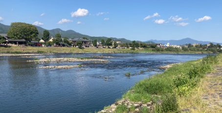
We started without any concrete objective, but soon after a couple of discussions, we decided to focus on river debris rather than ocean debris. One reason of our decision is that none of us is living at coast. Akito D. Kawamura has experiences of Google Earth Engine; hence, our development starts with his code. ぴっかりん researches about ocean debris and finds good indexes for our project. Those two streams merges to one tide. The resultant code is then in trial with local observations of rivers. We make some short trip to each one's local rivers. The testing score is not favorable just because rivers in Japan are clean enough from human-eye observation. We may need more chemical analysis of water sample to improve our understandings.
References
- S. Sannigrahi, et al. (2021) Detection of marine floating plastic useing Sentinel-2 imagery and machine learning models, arXiv
- L. C.M. Lebreton, et al.(2017) River plastic emissions to the world’s oceans, Nature Communications, DOI: 10.1038/ncomms15611
- https://marine.copernicus.eu/services/plastic-pollution/sources-marine-plastic-pollution
Tags
#satelliteData, #GoogleEarthEngine, #Sentinel-2, #OceanDebris,#RiverDebris, #dataAnalysis
Global Judging
This project has been submitted for consideration during the Judging process.