Awards & Nominations
SSTMD has received the following awards and nominations. Way to go!
Global Nominee

SSTMD has received the following awards and nominations. Way to go!
With SSTMD Solution we will be tracking all kinds of marine debris with help of Machine Learning to identifying objects using simple images from the satellite. After detecting that kind of marine debris our system will send an automated alert to the nearest environmental organization where they will be sending a drone to that specific location to detect with higher quality images which kind of debris (Metal, Plastic, Microplastic, Fishing equipment… etc) then calculate the environmental impact of such debris. It’s important to classify what and where and the impact before sending a crew to clean it up as it will be costly and inefficient before making sure which kind of debris we target.
With input images from the satellite data we are providing, our system will process the image with help of machine learning algorithms and image processing we will be able to analyze those images and apply Floating Debris Index analysis to detect and make a decision if it’s floating debris or otherwise. If the detection was captured as debris the system will generate an alert in our dashboard and automatically send it to the nearest environment organization. They will be having a high-resolution drone camera. the system will send a location, ocean flow, and the size of debris which then the drone will go to classify what kind of debris and how big is it in each classification. Calculating the size of the debris and classification will help us know the environmental impact of this and save cost for sending a crew to detect such debris. we are hoping to achieve a clean ocean but with lower cost in detecting such objects and with help of ecological communities and organizations we will be able to achieve better results.
In this project, we have used google colab for the experiment, and python programming language with Sentinel-hub software to gather the satellite data.
with help of Space Agencies Satellites such as earth data from NASA and sentinel-2 mission from ESA we will be able to monitor the reflected particles from the ocean using optical satellite data where we can observe Debris, seaweeds, and foams. with the Floating Debris Index we will be able to identify those and further more make it easier to be automatically detected.
https://sentinel.esa.int/web/sentinel/missions/sentinel-2
https://marinedebris.noaa.gov/sites/default/files/GPmap_2012_NOAAMDP.jpg
https://svs.gsfc.nasa.gov/cgi-bin/details.cgi?aid=4174
the Hackathon journey was an amazing experience where we learned more about the tools and resources provided by the Space organization and also community tools where we can all do something better together. we have learned more about using satellite imaging and how to tackle those tools for a better outcome for our future.
Our team got the inspiration about this challenge and to solve it after watching some videos and documentaries about ocean life and how we are killing the life of the ocean such as (seaspiracy, A Plastic Ocean). we have handled setbacks and hard challenges with Brain Storming and Design Thinking methodology which helped us go further in this journey.
#marine #debris #ocean #Space #satellite #tracker
This project has been submitted for consideration during the Judging process.
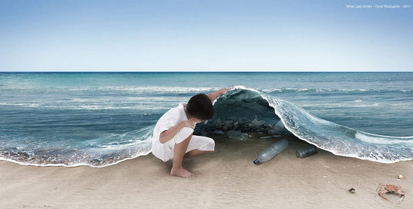
Marine debris is one of the most pervasive threats to the health of coastal areas, oceans, and waterways. Your challenge is to leverage Artificial Intelligence/Machine Learning to monitor, detect, and quantify plastic pollution and increase our understanding about using these techniques for this purpose.