
Marginalized communities are often disproportionately impacted by environmental hazards. Your challenge is to use NASA's Earth observation data to: 1) identify regions where such environmental injustice occurs, and 2) design implementable solutions that enable equitable outcomes.
Summary
Details
Background
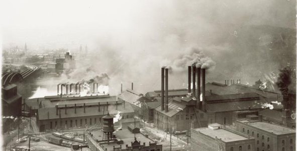
Environmental phenomena like climate change are bound to impact all of us. However, communities of marginalized populations, e.g., people in lower socioeconomic classes and indigenous populations in many countries, face disproportionately greater challenges such as more severe impacts of extreme environmental events and unequal access to resources. These challenges are often by design or institutional neglect.
From greater exposure to pollutants, increasing heat in urban islands, increased flooding-related damages due to infrastructure negligence, and lack of appropriate mitigation measures, environmental injustices prevent equitable access to basic needs such as clean water, air, food, and safe housing. Furthermore, practices that reinforce ethnic, racial, geographic, and disability-related disparities divide communities and isolate neighborhoods prohibiting access to resources and empowering opportunities.
Objectives
Your challenge is to use NASA Earth observations (satellite and/or airborne data) in conjunction with other information (e.g., socioeconomic data) to help bring to light regions where marginalized populations are facing a higher burden from environmental hazards, lack of access to resources and opportunities, and design solutions to bring about equitable outcomes.
Potential Considerations
In your solution, you may (but are not required to) consider the following:
- Do all communities and groups in a locale have equitable access to roads allowing movement of essential goods and services?
- Are exposures to different environments in a city or region connected to disparities in health and economic outcomes?
- How are extreme events such as floods and wildfires impacting people in different communities and neighborhoods?
- What geospatial data can help identify vulnerable populations that have higher exposure to threats and/or fewer resources to mitigate impacts?
- Can your analyses help identify practices that block access to opportunities and benefits for certain groups of people?
- What other data would need to be collected to help inform corrective actions?
- What actions can correct these systemic barriers and improve equitable delivery of resources and benefits to all?
- Potential search keywords include: global atlas of environmental justice, minority rights groups
For data and resources related to this challenge, refer to the Resources tab at the top of the page. More resources may be added before the hackathon begins.
NASA does not endorse any non-U.S. Government entity and is not responsible for information contained on non-U.S. Government websites.