
High-Level Project Summary
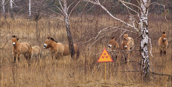
It is planned to create a system for modeling the spread and consequences of big forest fires based on a combination of information from NASA open climatological and geospatial data and data from autonomous unmanned aerial vehicles in the Chernobyl Radiation and Ecological Biosphere Reserve. In this area, there are several of the above-mentioned problems, namely: limited access, unpopulation, the consequences of man-made disasters (Chernobyl accident), as well as a high probability of natural disasters (forest fires).
Link to Project "Demo"
Link to Final Project
Detailed Project Description
The project idea envisages the creation of a system of early fires detection and modeling of scenarios for their development in hard-to-reach and dangerous areas, where control and access to facilities located in these areas is extremely difficult or impossible, such as radiation-contaminated areas, natural or man-made disasters, (fires in ammunition depots, minefields, etc.), dangerous man-made fires (pyrotechnics, explosives warehouses).
It is planned to create a system for modeling the spread and consequences of big forest fires based on a combination of information from NASA open climatological and geospatial data and data from autonomous unmanned aerial vehicles in the Chernobyl Radiation and Ecological Biosphere Reserve.
In this area, there are several of the above-mentioned problems, namely: limited access, unpopulation, the consequences of man-made disasters (Chernobyl accident), as well as a high probability of natural disasters (forest fires).
This system will predict the direction of air masses movement at different altitudes, the estimated direction of fire, the degree of danger of air pollution, concentration and risk of radiation pollution transmitted during the fire.
There are a number of advantages to using unmanned aerial vehicles for forest monitoring and early fire detection. They are equipped with a wide range of control devices for control in the visible and infrared spectrum, can fly directly over the scene of action, conduct detailed aerial photography, and transmit a lot of information in real time namely: exact coordinates of the place of smoke / expected to fire, the concentration of air pollution, levels of the radiation background, etc.
As a result of the project, we will have got an effective innovative system for early detection of dangerous fire situations, collection and transmission of information to situational centers for operational management and decision making.
Space Agency Data
The following NASA instruments and resources are planned to be used for the project development:
https://earthobservatory.nasa.gov/topic/fires
Land Surface Temperature Anomaly: https://earthobservatory.nasa.gov/global-maps/MOD_LSTAD_M
The fire maps show the locations of actively burning fires around the world on a monthly basis, based on observations from the Moderate Resolution Imaging Spectroradiometer (MODIS) on NASA's Terra satellite:
https://earthobservatory.nasa.gov/global-maps/MOD14A1_M_FIRE
Hackathon Journey
For the first time, our team took part in such an interesting event as the NASA Space APPS Challenge. Unfortunately, we have no experience working with NASA, but we really would like to create a joint useful project that would benefit many people.
We really liked the atmosphere hackathon, there are a lot of young creative people.
References
- Ager, A. A., et al (2019) The wildfire problem in areas contaminated by the Chernobyl disaster. Science of the Total Environment, 696.
https://earthobservatory.nasa.gov/images/146561/fires-burn-in-northern-ukraine
- State Emergency Service of Ukraine (2020, April 9) On-line information on the elimination of forest fires in the Exclusion Zone. Accessed April 9, 2020.
- State Scientific and Technical Center for Nuclear and Radiation Safety of the State Nuclear Regulatory Committee of Ukraine (2020, April 7) Prompt Message on Radiological Situation in Kyiv and Suburbs. Accessed April 9, 2020.
Tags
#fire, #radiation
Global Judging
This project has been submitted for consideration during the Judging process.