
High-Level Project Summary
At present, the environmental situation in Peru in terms of environmental liabilities is really worrying. Only in the hydrocarbon subsector there are more than 5000 environmental liabilities, of which to date none have been remedied; This, added to the constant oil spills that are occurring and the insufficient technology that we have during these emergencies, increase the problem, thus harming more than 27 indigenous communities and thousands of species of flora and fauna.The study of the geoenvironment through the use of satellites allows the measurement of different physical and chemical parameters; furthermore, this can be done remotely and covering large regions. In this sense, the id
Detailed Project Description
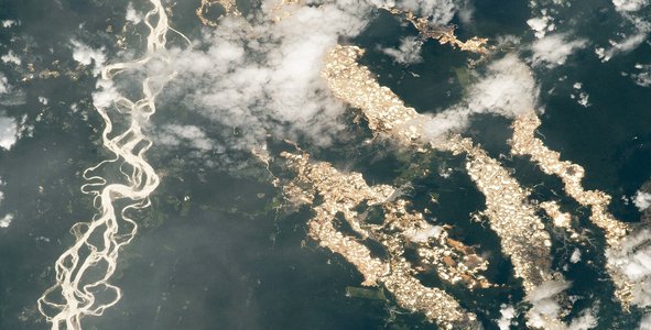
Our project uses remote sensing data provided by NASA and other space agencies for the identification and characterization of oil spills that occurred in the Peruvian Amazon (environmental liabilities). Microwave spectral data provide relevant information that allows us to detect a geographic space impacted by an oil spill. The scattering and reflection of light due to the different physical and chemical changes that occur after the oil spill, and that affect its visualization such as changes in thickness and prevailing atmospheric conditions. For the detection of oil spills, the presence of a moderate surface reflectance, and the difference and absence of absorption in the visible region, are indicators of oil in the water. Reflection ranges from 480-570nm with strong reflectance and transmittance wavelengths. In general, the contrasts in oil surfaces on water and soil are affected in two ways that can be positive or negative, depending on the display geometry and the wind. First of all, the effect of the brightness of the sun increases the contrast of the unobservable oil due to the damping effect of the current (in case of spills in the water) and the effect of vegetation (in case of spills on the ground). The second effect is the difference between the optical properties of oil and water and soil, which are mainly characterized by high absorption at blue wavelengths.
The benefit of this project would be the remediation of these affected spaces through the use of advanced oxidation chemical processes (use of oxidants such as ferrates or photocatalysts such as zinc and titanium oxides); This would have a positive impact on the indigenous populations that live near these affected places and whose contaminated waters are consumed daily, which generates a series of diseases, mainly in children. Environmental justice would be achieved for these vulnerable populations and a recovery of these spaces rich in flora and fauna.
Finally, with this project we hope to remedy those areas of the Amazon that represent a greater risk to indigenous populations.
Space Agency Data
We use microwave radiation data from EarthData that will allow us, depending on the degree of resolution they present, to process and estimate the regions in which an oil spill has occurred.
Hackathon Journey
This Hackathon seemed like an excellent initiative that allowed us to explore all the valuable resources that exist that, if processed in the most efficient and appropriate way, will allow us to solve a large number of problems that our planet currently faces.
This project inspired us the current reality in which our Amazon lives. Impacted by the indiscriminate exploitation of resources and the great inequity and lack of social justice that exists over the most vulnerable populations.
We want to thank all the people and organizations that made this valuable experience come true.
References
1- https://www.epa.gov/ejscreen
2- https://earthdata.nasa.gov/learn/backgrounders/remote-sensing
3- https://search.earthdata.nasa.gov/projects?p=!C1649940892-ORNL_DAAC&pg[1][v]=t&pg[1][m]=download&g=G1894653034-ORNL_DAAC&fl=1B%20-%20Radiance%2C%20Sensor%20Coordinates&gdf=CSV&tl=1633317907!3!!&fsm0=Soils&fst0=Land%20Surface&m=13.7109375!-106.3125!2!1!0!0%2C2
Global Judging
This project has been submitted for consideration during the Judging process.