
Climate change is expected to exacerbate heat-related extremes that impact human health and environmental and ecological systems. Your challenge is to build a tool that uses Earth Observations (EO), crowdsourced data, and models to provide warnings about potential impacts of these events, along with guidance on mitigation measures.
Summary
Details
Background
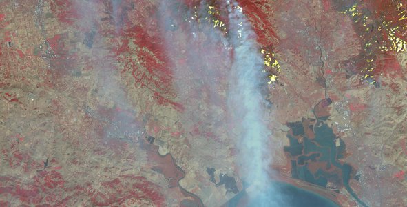
Climate change is expected to exacerbate heat-related extremes that impact human health and environmental and ecological systems. The impacts of climate change are already evident in the USA and globally. Heat waves are often associated with droughts and forest fires that have multi-billion-dollar impacts on national and global societies. These phenomena appear to be increasing in frequency, intensity, and duration, and affect the water-energy-food nexus with consequent impacts on social and economic structures. Environmental co-factors that are related to heat wave and heat stress and affect health include air pollution (PM2.5—inhalable particles whose diameters are 2.5 micrometers and smaller), exacerbation of pre-existing health conditions, and the availability or unavailability of infrastructure (e.g., air conditioning, adequate power-generation capacity, and water capacity for irrigation and fire reduction). Concise and simple information is often lacking or not readily accessible in the form of customized warnings that can help individuals and counties/cities take mitigating actions.
Objectives
This challenge involves the development of tools to generate heat-related risk warnings. The tools should use Earth Observations (EO) and models together with local crowdsourced data to provide warnings (e.g., heat stress intensity duration levels), estimate potential human and environmental/ecological impacts, and provide guidance on mitigation measures that could be adopted at the individual and state/national policy levels. Tools should be laptop/smartphone applications that can generate a heat stress risk warning level (Red, Yellow, Green) for a selected area (e.g., city, county, country), and potential risk for one or more of the following: forest fires, air pollution, crop damage, water and energy supply shortages.
The user interface needs to be simple with templates that are intuitive, and the tool must require data or information that is readily available to the user before a risk level can be estimated and displayed.
Potential Considerations
As you develop your tool, you may (but are not required to) consider the following:
- Simple tabular (quantitative) and graphical displays with brief explanations are desirable.
- Details can be provided as appended or linked cross-references
For data and resources related to this challenge, refer to the Resources tab at the top of the page. More resources may be added before the hackathon begins.
NASA does not endorse any non-U.S. Government entity and is not responsible for information contained on non-U.S. Government websites.