
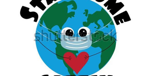
High-Level Project Summary
We developed a Live Tracking Application Map that tracks Covid Infected People. First we will take user input on Covid status and their location in real time. All this data is processed and taken in account for our prediction analysis and output is shown on screen. Our Database will contain various such Analysis report of user's which is used to determine containment zone based on threat level and displayed in form color zones indicator on map like red (danger zone) orange(moderate zone) green (low/no Covid zone) and Blue dots signifying High risk people in green Zone.
Link to Project "Demo"
Link to Final Project
Detailed Project Description
Live map Tracking of Covid Infected/High risk people in real time. Our system application works on two levels first is user level where it would take user input about various attributes like user symptoms, vaccination status , recovery status , Time-period , region along with we will also take their location using GSM (Global System for Mobile Communication) protocol for contact tracing and DP-3T (Decentralized Privacy-Preserving Proximity Tracing) protocol which uses low Bluetooth energy to encounter user's in close range. All this data is processed and taken in account for prediction risk analysis which is then shown on user screen.
On a Regional level we have our database containing huge number of user's analysis reports which is used to determine containment zone on various threat levels in form of color based indicator on map. These colored zones are as follows: Red Zone for high number of Covid Cases, Orange Zone for moderate number of cases which is based on user's density of a particular region , Green Zones for low/no Covid Cases and Blue Dots signifying people at high risk in green zones. Also the user can tap on a particular Zone to get more detailed analysis about the zone like number of positive covid cases , number of people recovered , number of death cases due to covid , change of status of containment zone in last one month.
Benefits to people : Live traffic on map of covid infected people.
Better navigation through region based on containment zone.
Can be integrated with other features like vaccination, registration, etc.
People can take necessary precaution to be safe and prepare for their day to day activities.
Space Agency Data
NASA Earth Data Covid-19 Dashboard : https://earthdata.nasa.gov/covid19/explore/global?map=75.3872%2C26.9163%2C1.65&layers=no2&date=2021-08-01&lState=no2%7C1%7C50
This data is used to study spread of Covid-19 in different parts of world and help us to determine the possible ways of solution we could propose. Also we used this to help us in understanding how to integrate live map tracking of our application.
Hackathon Journey
It was a pleasant experience working on this project. We learnt a lot of new things along the way. At first, We had issues trying to grasp the ideas that were to be presented. Then slowly we started learning about the topic at hand. First we learnt about what COVID was, and how it started to spread across the globe to become one of the deadliest pandemics in history. Then we studied on how the world reacted to this deadly pandemic. From this study, we came to realize the effects of COVID. Taking all this into account, we decided to create an application that could monitor, track and alert the user about COVID infected people, and provide proper precautions to keep them safe.
This is how we came up with our idea. Then we brainstormed different solutions to solve this problem. The outcome is what we have attached above. We have faced a lot of challenges like safeguard user's data privacy and managing database containing huge amount of data . We have used GSM and DP-3T protocol to ensure data privacy and security along with we have a created a Data Warehouse to manage our database. We would like to thank NASA space agency and Parvishya to provide us such a great platform to express our IDEA's and to get such a wonderful experience.
References
Tags
#covid-19 #liveview #lightspeed #NASAspaceappchallenge #Spaceapp2021 #NASA #Covid #forabetterworld #map #tracking
Global Judging
This project has been submitted for consideration during the Judging process.