
High-Level Project Summary
We collect earth data everyday and after it has been processed and analyzed, we are able to discover, understand and reveal the events that happened around us; e.g. extreme weather increasing in frequency and rising of water level due to climate change. The data can also be used to plan a safer route for cargo ships to sail through the Arctic Ocean to save cost and time. Besides that, it also helps to reduce environment impact by reporting any oil leak from ships to authority. By having this application, it helps to explain and predict in more accurate way and make better decision to tackle the issues before becoming worse. One of strategy is for countries to compete a Earth Hour program.
Link to Project "Demo"
Link to Final Project
Detailed Project Description
Earth data can be used as a tool to improve or diagnose any symptoms around us. The satellite-imaging device acts like a giant X-Ray machine that “scans” the whole globe to study and predict any abnormal events that are likely to happen above or below earth surface.
We documented some of the examples on how these earth data can be beneficial to our societies as below:
i) Drought Monitor – lead to socioeconomic outcomes
ii) Monitoring Harmful Algal Blooms - sensing for detecting cyanobacterial harmful algal blooms
iii) Deliver warning by studying the pattern of data for better forecast in future.
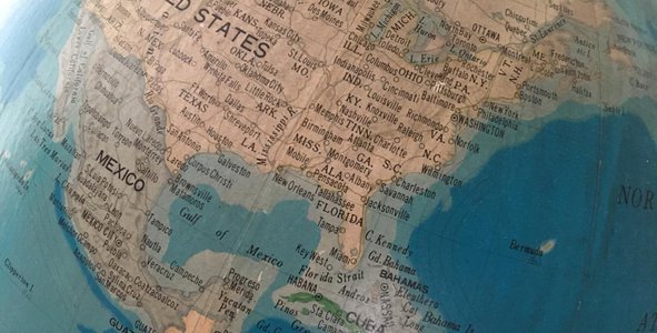
iv) Improve economic activities and reduce environmental impact – shorter route through Arctic Ocean and monitoring any possible of oil leak from ships
v) Flooding issue – identify the potential areas affected if water risen.
vi) Sign of Earthquake – thermal abnormally
The earth observation data been collected and stored each day. We can use this past historical data with to generate or simulate a model (or roadmap) to compare the real time data trend or image. By monitoring it real time, we able to tell whether we in the healthy or warning trend, if not, action must be taken to avoid something bad to happen e.g. the rise of mean sea level, if sudden rise detected, strategy to revise policies globally. Same as how we fight for economic grow by keep revising the interest rate time to time when there is inflation or deflation occurred.
I think by using competition strategy for each category above would help in our societies.
One of strategy is to promote awareness for whole nations to participate in Earth hour Extended program e.g. monthly basic and get incentives for get more rebate for reducing household electricity bill. etc.
Top 10 Countries that have the highest percentage of participation in this program will received a certification of recognition and award.
The result could be based on by comparing before and after of the night vision of satellite images.
Space Agency Data
We browsed and read through the NASA data resources to get and gather ideas to start off the project.
Hackathon Journey
I'd say it was pleasant and I learned a few things from doing the challenge I was supposed to. I chose the challenge because I thought it was interesting. We searched for information big or small to show what we have found to be useful for others. It is not too hard to resolve setbacks if put our minds to it. I'd like to thank everyone around me for being able to let me participate in this challenge to where it is now.
References
https://en.wikipedia.org/wiki/Earthquake_prediction
https://www.youtube.com/watch?v=ldsTcAvXwSc
https://www.independent.co.uk/news/science/scientists-suggest-new-theory-behind-mystery-bermuda-triangle-meteorologists-columbia-a7375671.html
https://cimss.ssec.wisc.edu/satellite-blog/archives/14311
https://www.rff.org/publications/explainers/value-of-science-105-three-principles-of-the-value-of-information/
https://www.e-education.psu.edu/earth103/node/731
Tags
#Artemis
Global Judging
This project has been submitted for consideration during the Judging process.