
AEB
DGI
Image Generation Division (DGI) is part of Earth Observation General Coordination (OBT), from National Institute for Space Research (INPE). The activities of DGI focus on receiving, recording, processing, storage and distribution of images and data from remote sensing, meteorological and scientific satellites.
Main Goals:
ERG
Station of Reception and Recording (ERG) satellite data of Cuiaba - MT is part of the Image Generation Division (DGI) from National Institute for Space Research (INPE). Activities of ERG involve reception and satellite data transfer from Cuiaba - MT to Cachoeira Paulista - SP.
Main Goals:
CSA
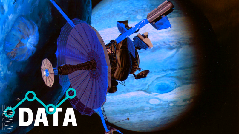
Since the first satellite was launched into orbit in 1957, space technology has evolved rapidly. Today, a growing number of satellites orbit around the Earth, making various Earth observation, communications, navigation and science applications possible. While we may not always realize or acknowledge their existence, the important role these systems play in our daily lives cannot be underestimated. They contribute considerably to our well-being and enable us to achieve our objectives in new and innovative ways.
Global Positioning System (GPS): Provides positioning information, locates and monitors individuals and identifies the origin of 911 emergency calls.
https://asc-csa.gc.ca/eng/satellites/everyday-lives/default.asp
ESA
G4AW-supported GEOBIS uses geospatial data for providing time and location specific advisory services to smallholder farmers in Bangladesh. It aims to improve agricultural productivity, income, and the management of weather-related emergencies. Farmers receive information through mobile phones, a call centre, a website, app-based services, and personal advice via extension officers. 240,000 farmers have been reached and a 7% increase in production and a 12.5% increase in income was observed. 70
The G4AW supported project, GEOPOTATO, aims to sustainably improve resource-use efficiency in potato production in Bangladesh by providing farmers with an EO-derived decision-support service to control the late blight fungal disease. The alert service will be provided on subscription to farmers, through SMS or voicemail. Expected farmer benefits range between €100-250 per hectare. To date 40,339 farmers have been reached, covering approximately 475,355 hectares of farmland.
https://eo4society.esa.int/wp-content/uploads/2020/07/Caribou-Space_ESA-EO-for-Agenda-2030-v2.pdf
Earth observation by satellite is a mandatory activity as a tool for analyzing the environmental changes caused by modern society. Due to the observation of these changes and their deleterious effects, the need arose to minimize these impacts and raise opportunities to improve social and economic well-being. It is easy to see the importance of the Brazilian Space Program for society, since Brazil is a country of continental dimensions. With a territory of more than 8 million and 500 thousand square kilometers, remote sensing carried out by satellites in different wavelengths and resolutions simplifies, systematizes and increases the monitoring efficiency of this huge territory, given the economic limitations for direct monitoring and need to take timely actions in the correction, treatment and solution of environmental problems or disasters.
Some of the specific applications of Earth observations include:
• Measuring land use change (as an example deforestation). These applications are particularly relevant to agricultural planning;
• Monitoring and responding to natural disasters, including fires, floods, earthquakes and tsunamis;
• Management of natural resources such as energy and fresh water, for example. An important application is the development of water flow models in rivers and national reservoirs based on data collected from satellites;
• Forecasting, adapting and mitigating climate change
https://www.gov.br/aeb/pt-br/programa-espacial-brasileiro/aplicacoes-espaciais/observacao-da-terra-e-coleta-de-dados