
High-Level Project Summary
I developed a 5 minutes video in my language Hausa with English subtitles explaing Synthetic Aperture Radar technology. I simplify it in such a way that anyone that watch the video irrespective of language will understand its importance. It guides people and gives them information on how to control and tackle environmental problems such as flood, ice, glacier meltdown, volcanic eruptionand climate change using sentinel -1 ,2, LANDSAT, RADARSAT, and ALOS.
Link to Project "Demo"
Link to Final Project
Detailed Project Description
Enlighting and sensitising people of different backgrounds on the importance of Synthetic Aperture Radar in their daily lifes especially hausa natives.
The federal and state government including people will be aware of their environment and what they did that increase CO2 and triggers environmental and climate change
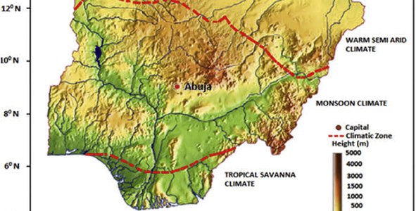
The ministry of environmental planning can apply the data from Synthetic Aperture Radar to plan and create sustainable cities in Nigeria, up to standard cities in developed countries.
Majority of Nigerians relies on borehole for water supply which may cause land subsidence and lead to sink holes.
Supply a sustainable electricity using solar panels or wind turbines for sustainable Nigerian future.
To locate and monitor areas of insecurities across the country.
Sensitive the public on the advantage of trees and disadvantages of cutting down trees and plants.
Nigeria should join the world in fighting climate change and contribute to greening the economy for a sustainable future.
Space Agency Data
CORPERNICUS- sentinel-1 and sentinel-2
I use the YouTube video and graphics from sentinel-1 and 2 to make an outstanding project demo. The resources on the page are also key information I use in developing my project.
NISAR: Applications white papers: I use it in giving examples on climate change.
NISAR- ISRO: The PDF document containing detailed information about SAR land theory, I used it for most part of the project.
NASA Space App 2021 guide : The basic information on the page was what captures my attention to select the challenge.space App guide me through the project demo and final project production. Its quite easy to use and gives straight forward information.
JAXA: I read the Alos-1 cal/val , it I learned about the algorithm.
The Canadian Space Agency offers me information about different farmers and people using the data from Synthetic Aperture Radar.
Hackathon Journey
Very educative. Challenging
I learn alot about Synthetic Aperture Radar, its applications and uses.
The global change is seen and felt in all parts of the world. Where I grew up, plants and trees are given less importance. The arid region is becoming hotter every year. I want my community to join the fight against increase in carbondioxide in the atmosphere. I want to help plant more tree and create sustainable cities for sustainable development.
I read and understand the question and resources, I summarise the work, I shared the knowledge with my family and friends, I developed and compile the project.
By reminding myself that the world need to know and hear the importance of Synthetic Aperture Radar to our life, the planet and future generation.
I will like to thank NASA for giving me the opportunity and resources to acquire this life changing information about Synthetic Aperture Radar.
I will like to thank ESA, CSA, JAXA, ISRO-NISAR, for the resources and contributions, my life will never be thesame.
References
The Geodetic facility for advancement of Geosciences(GAGE) operated by UNAVCO. funded by National Science Foundation(NSE) and NASA SAR satellites
Alos-2 SAR Handbook: comprehensive Methodologies for Monitoring and Biomass Estimation. Published: April, 09 , 2019
European Space Agency(ESA) sentinel-1 . Access to copernicus sentinel data via download and cloud services
Sar_Land_apps-1 theory
Brittanica- Landsat satellites
NISAR Applications white papers:
NISAR mission
Calibration and validation plan
Food security
Water
Soil moisture and water resources
Ecosystem
Food
Cold Regions
Sea Ice
Landslides
Subsidence
Climate and ice/ UCAR Center for science Education
Moses Okemini Nwagbarah Department of Soil Science and Meteology, Micheal Okpara University of Agriculture, Umudike, Nigeria DOI 10.4236/ajcc.2015.43021
ESA/ Applications/ observation Earth ( PolInSAR: Advance in Radar Remote Sensing
Kamus hausa dictionary
Microsoft Office word
Microsoft power point
Adobe Premiere Pro
Adobe reader
Inshot
Google Playstore
Google Drive
one drive
Google Search
Download multiple free images
Android
Tags
#knowledge, #syntheticapertureradar
Global Judging
This project has been submitted for consideration during the Judging process.